RAPID SITE DATA COLLECTION. 3d. 360. / terrestrial. aerial.
Capture Services

We offer a range of services including location recording, scanning, 360 survey project building, systems leasing, technical & software training, infield support and specialist system consultancy. Our team rapidly record sites using vehicle, drone or portable capture systems. The systems use a variety of sensors including LIDAR, high resolution cameras and 360 degree sensors for stills and video. Every frame is tagged with location metadata to enable smart processing and automated positioning.
TSS Have a CAA Operational Authorisation for drone flight by our qualified and experienced pilots.
turnkey recording systems: RENT or BUY

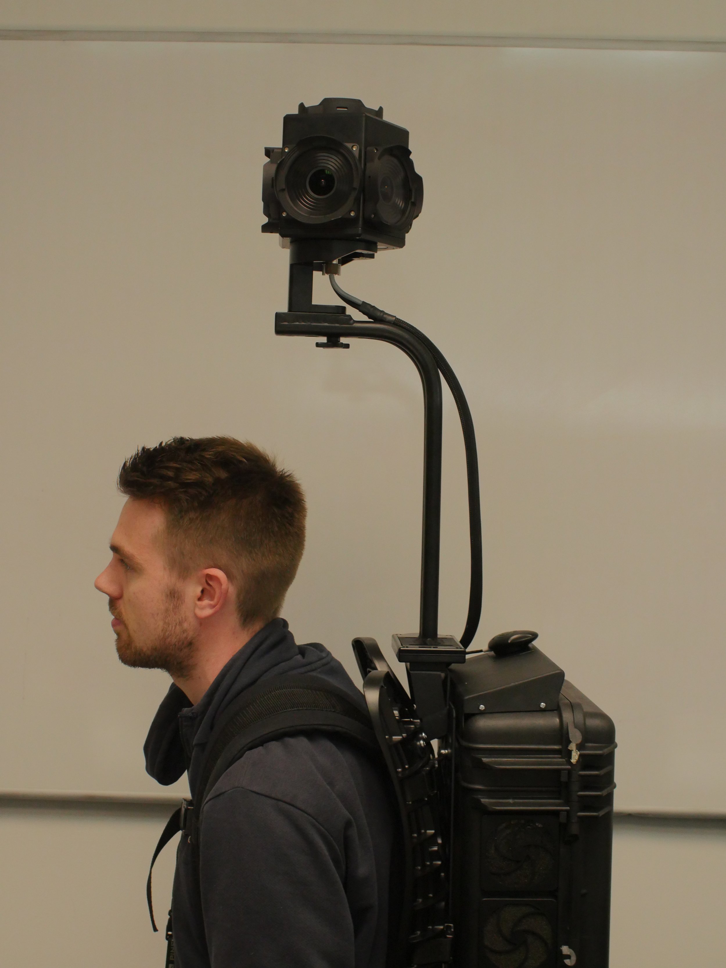
The range of recording systems used for surveys includes portable or vehicle mounted 360 integrated sensors and recorders with GPS, rigged in a number of different configurations. Other options include smaller devices including 4K 360 image and linear video camcorders suitable for handheld or drone use. Lidar scanners are used in a number of configurations, either rapid collection portable devices or tripod mounted for scanning larger areas or where better resolution is required. Scanners can also include integrated colour cameras to give RGB values to individual scan points to enable better visualisation.